Or 278.6 acres to be more precise.
In the early 70s my friend John’s parents built a new house on Rossmore Road just off Maquoit. After listening to Cheech and Chong’s Sister Mary Elephant a half dozen times we got on our bikes and went through the back yard into what I now recognize as a Pine Barren.
In the southwest corner of the 200 Acre Wood there is a little patch of abruptly undulating sandy soil. The wavelength of these crests and dips is short. It was perfect for getting a little quick downhill momentum before snapping back up the peak of the next wave to hit that euphoric bit of airtime middle schoolers relish. The trees were well spaced and the significant pine litter seemed to do something that prevented a lot of brush from growing up between them, soft soils assured an easy landing from wipeouts. It looks much the same now.
Booker’s pond was accessible through the woods but easier to get to by wheeling down Rossmore Road. Fewer houses lined the road and Matthew Thornton’s tenuous connection to Brunswick had not yet been memorialized. The pond seemed both larger and a bit further back off the road. There was some sort of dam where there is now causeway which probably changed the contours of the pond a bit. I never fished or hunted but John did so he could regale me tales of what might be in the pond or in the woods.
The pond eventually drains through some culverts under Rossmore Road to a saltmarsh adjacent to Maquoit Bay. Word is if you’re brave and a decent swimmer you can swim the stream through the saltmarsh down to the public landing at Wharton Point.
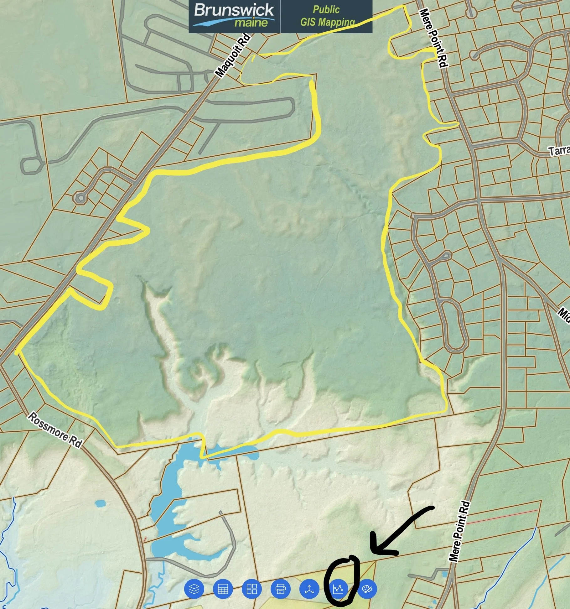
A friend sent me this map. It shows three spots off Maquoit Road and one from Sequin where you can enter the Wood without trespassing; the southerly entrance on Rossmore, which had been a traditional neighborhood access point, has signage noting the land is private property. It is fairly easy to walk these woods without impacting private owners. At this time, aside from road side, there is no public parking. Choose your entry point carefully. It is clear that even the iciest conditions, people enjoy bike riding on the paths.
As a professional wanderer and Baedeker of Brunswick people will make suggestions for places I might ramble next. The swimmer reminded me of the “Morrell” property, so called after the family that had owned it for a good long stretch. But the land has been owned by the town for something more than a year now. A hand drawn map accompanied the suggestion. It showed a trail system which included some of those I had drifted around as a child but also included a pretty extensive network that loops around and crosses over the property to an egress on to Sequin just off Mere Point Road. The promise? A spectacular walk along the rim of a ravine, some recent beaver dams, magnificent pines, and the possibility of wildlife including fishers and bobcats.
Not too long after the map arrived my wife and I went in. We’d walked past the point of no return before the fishers and bobcats were mentioned. I remembered them just about the time my wife got a text from our oldest saying, “What are you doing in the woods?” In an odd bit of parentifcation our oldest tracks my wife’s movements on her phone . We were standing on the edge of the ravine by this point so it seemed the best thing was to just send back a picture back of us on its rim.
In the summer of 2022 following pernicious algal blooms and shellfish die-offs in Maquoit Bay Brunswick imposed a temporary development moratorium in the Maquoit Bay watershed. Not long after the town purchased this piece of land to forestall a large scale housing development then in its early planning stages. The town’s immediate impetus was the environmental degradation of the bay and the devastation to the shellfish industry. There was also talk about future development of the land that may ameliorate the local affordable housing pinch. The reality is this land and the neighboring infrastructure make it more susceptible to high priced subdivision rather than a 900 hundred unit apartment project. But a ravine is a ravine, and a bluff is a bluff.
Word is the Brunswick Town Council will begin considering the next steps on this project sometime in April 2024. If the past is any guide the council will likely assemble a group of stakeholders to review the property and make recommendations. Here are some links to news items regarding the acquisition of the property:
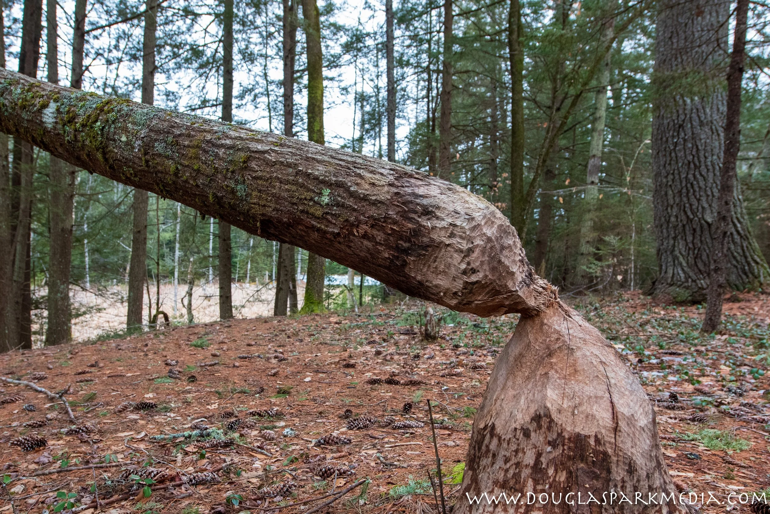
More a gorge rather than a ravine it was well worth the price of admission. Among Brunswick’s coastal ravines with ready public access it may be the deepest and steepest. It is hard to do it justice with photos. The woods are dense and mask just how steep the walls are.
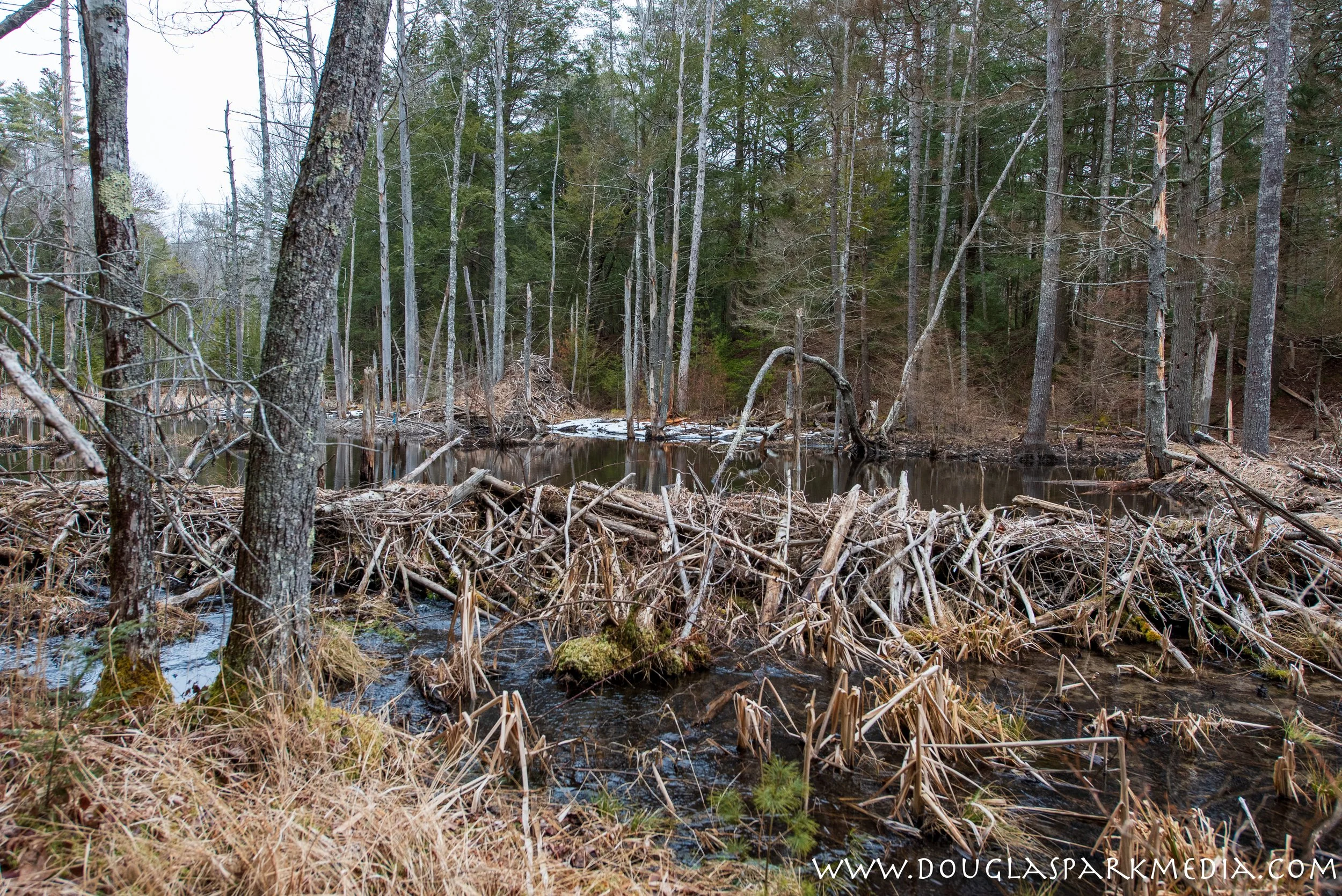
Several ravines and gullies dot the 278 acres but this one stands out. It has two major arms. Their confluence is just a shade north of Booker Pond proper. From their meeting point, which is currently the domain of some industrious beavers, the northwest branch extends nearly 1600 feet. The northeastern branch is shorter by about half and ends as a two tined fork of its own. The sides of the ravine run anywhere from 70 to 80 feet above sea level while its low point varies between 12 feet near Beaver Dam on up to about 26 feet further up and further in. There are plenty of places where the drop from the gorge’s edge down to the base is nearly 55 feet.
It’s fine to stand there and wonder how deep the ravine is by guessing the height of trees you’re looking over, but it is also pretty satisfying to use a little tool on the GIS site attached to the town assessor’s database. You can spend hours dragging and dropping around town.
But why not take an hour or two to wander through the 200 Acre Wood? Imagine yourself standing at the edge of this ravine during one of those three super soaker events we had in December and January. Where would all that water go if it didn’t have ravines and ponds and bogs and marshes?


