
Lately, I have been spending a lot of time down by the river getting high school students set up with photos for their yearbooks. I can tell you that the old people in Brunswick (those that went to school here in the 1970s and 1960s) aren’t joking when they talk about the pestilential condition of the Androscoggin back in the day. It stunk.

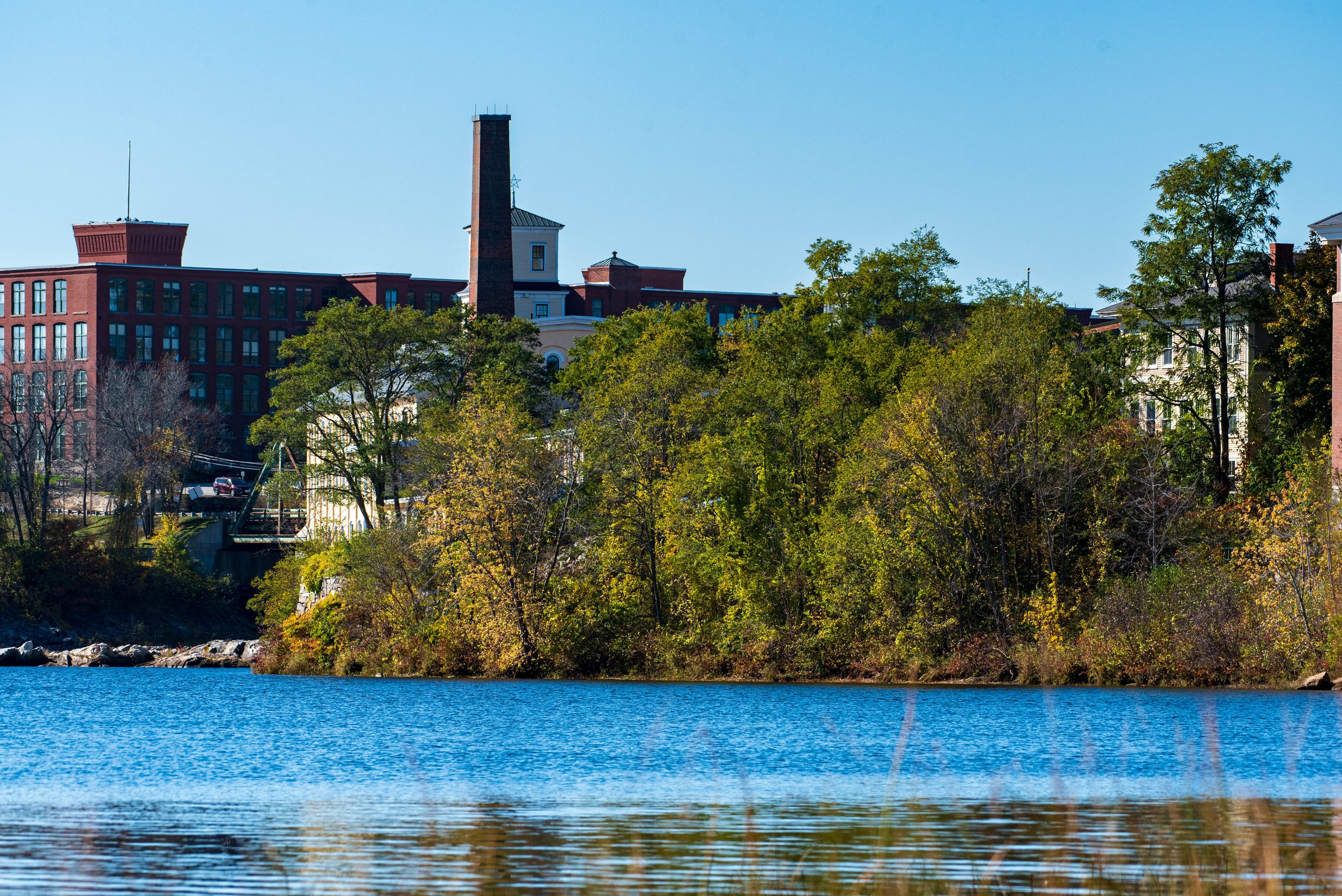
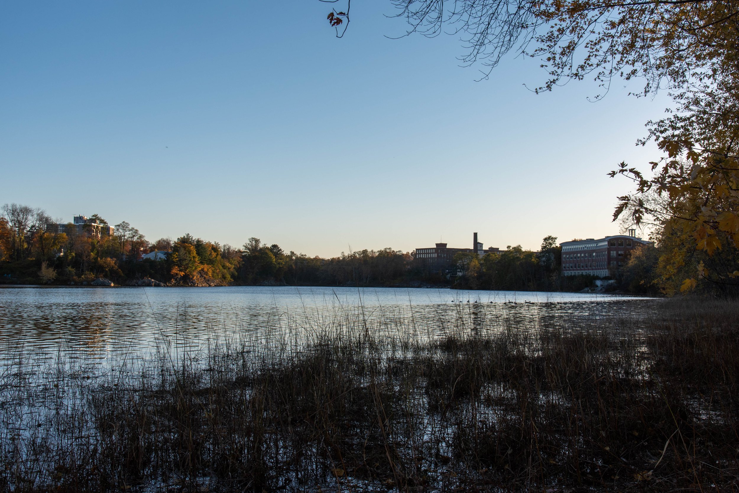
Now though, it’s kind of nice down there. The color this time of year is great and the bike path, the river walk, the town landing, and Pinette’s Landing all offer picturesque backdrops with the monumental old buildings, funky industrial remnants, and a several interesting bridge scapes.

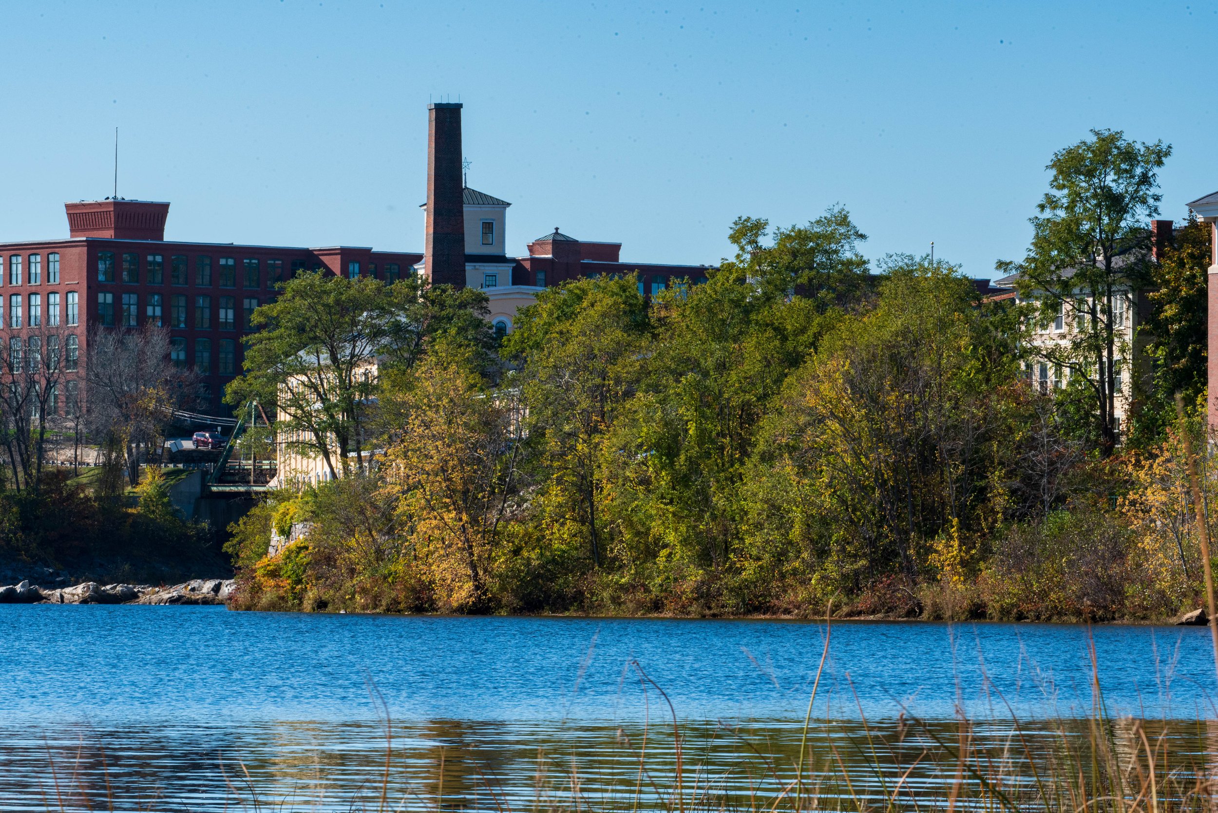
One of the kids asked me about the building on the right here—-what it used to be? You can’t see it easily from the road as come into Topsham off the Green Bridge. It’s set back a little behind some smaller buildings on Main St., just past the Great Bowdoin Mill (a/k/a Seadogs). While it does a pretty good impersonation of an old mill building recently renovated into something trendy, it’s actually new, built within the last ten or fifteen years. So it didn’t used to be anything. There was something called the “Granny Hole” and a much shorter old truss bridge that used to connect the Great Bowdoin Mill to the chunk of land behind where the old Topsham Fire House used to be at the foot of Green Street..

But it did make me wonder a bit what was downstream on the Topsham side. I have a sister used to own a house on Green St—-first right turn coming into Topsham, goes up and connects to Elm Street—her land went down through some swampy boggy land and to the river’s edge. So I wondered if there’s a place on the Topsham side where you can get down to the river. Turns out there is.

It’s one of those deals between the town, the Brunswick Topsham Land Trust, and a private landowner. It’s a short little trail, less than a third of a mile long that makes a crescent just below, on the river side, of the aptly named Riverview Cemetery. It’s called the Smart Property, though, based on signage, the landowners seem to have a different name now. You can get there from Town Landing Road, which is more or less someone’s driveway, off of Green Street. You’ll want to leave your car elsewhere, maybe on Elm Street. Or, you can come in from the other end of the trail which is at the back end of a parking lot at the River Landing Residences on Elm Street.

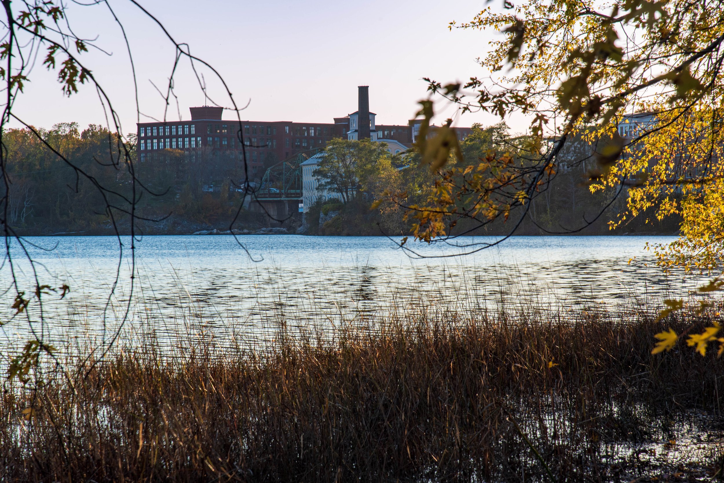
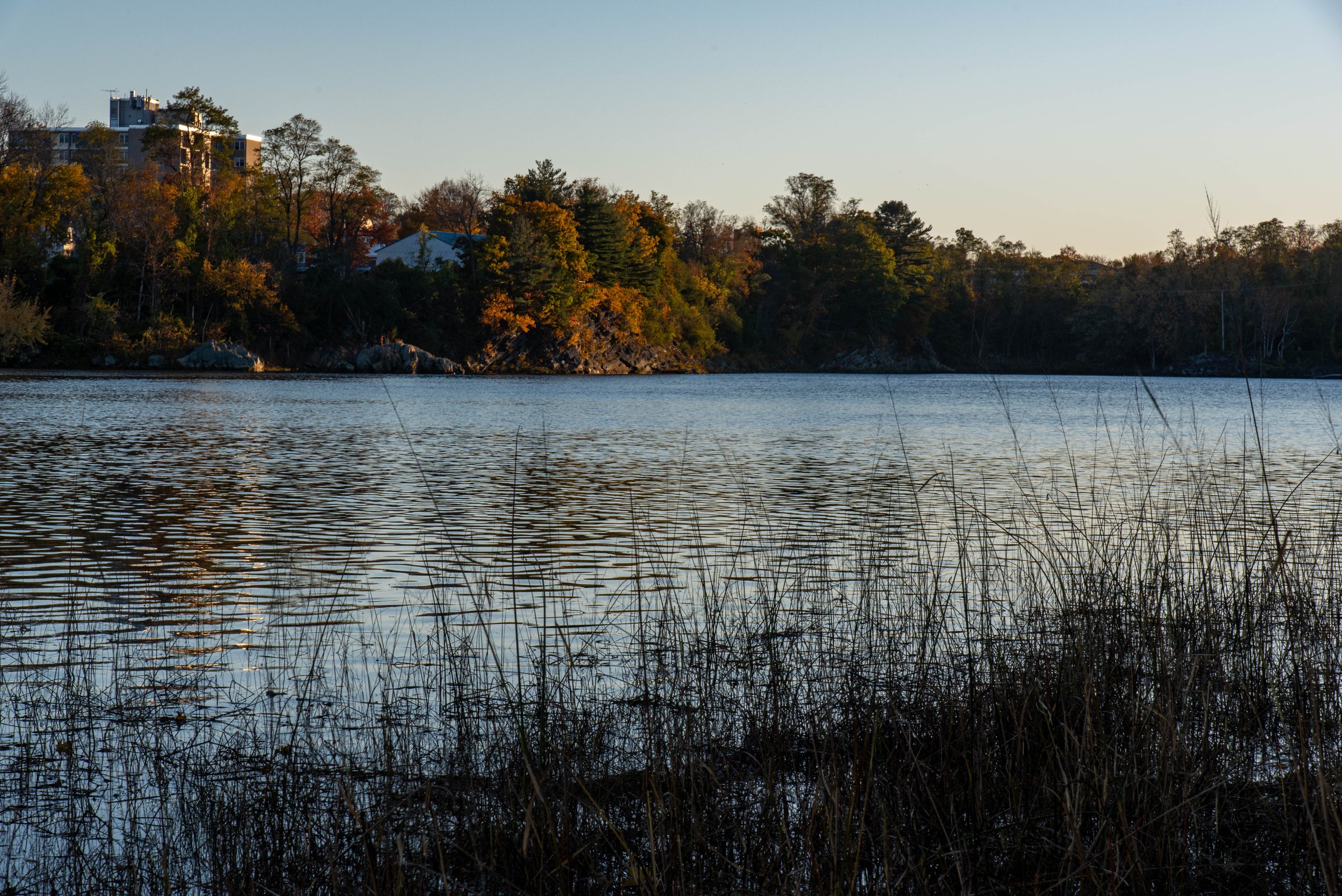
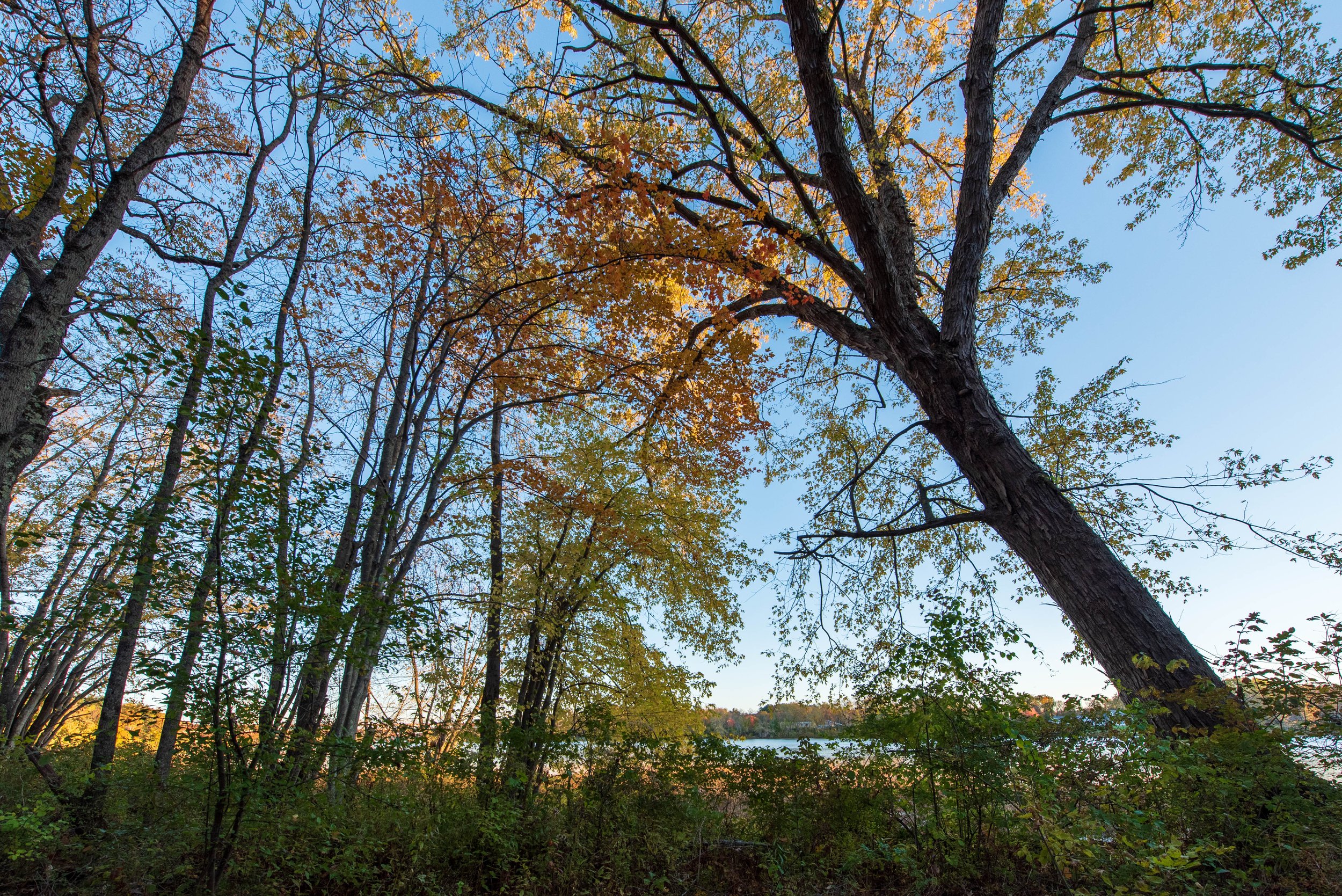
Roof line up on Green Street as seen from the short trail along the river front. The trail itself is easy walking, wide. Dry recently, but no doubt can be wet. It has just one short wooden bridge to cross. However the descent down from both sides is fairly steep and would be challenge for someone with mobility issues,

Looking back at Brunswick, the Green Bridge, and the Yellow Mill from a different angle can be interesting. I was surprised when even Da Eye Rize cast a nice rosy reflection of the setting sun.

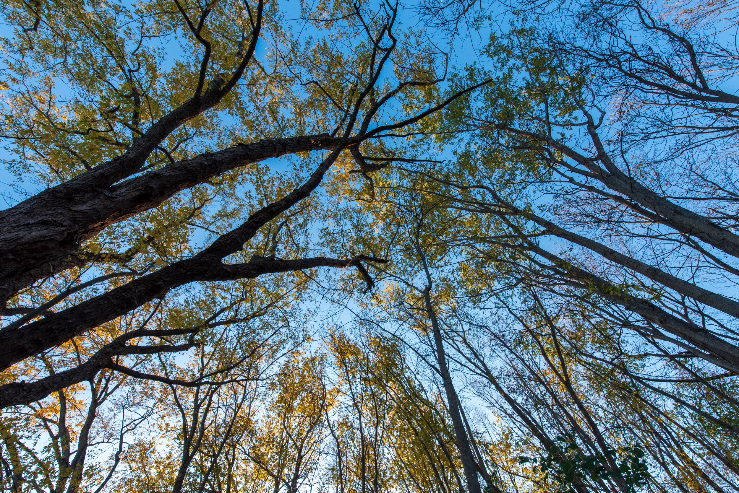
There was plenty of bird action too though I didn’t catch any significant photos: an eagle took off right above me when I first entered the trail—-camera was still in the bag—but the eagle had the remnants of a fish which it discarded in the river before flying away. Evidently being considerate of the neighbors. Herons, terns, lots of ducks and small birds in the woods that I don't know about.
This patch of water used to be filled with a gruesome foam that in the colder months solidified to a chemical meringue. When the current or tide changed it’d calve, like an iceberg, and show an inside striped with different layers in the most putrid shades imaginable. Not so bad now though.
You can find information about the Smart Property here from the Brunswick-Topsham Land Trust, or from Maine By Foot. And here is some information about the Granny Hole Bridge.